Discover ultra-efficient solutions for airfield investigation

Mobile mapping
Gain a clear view of what lies beneath the airfield with ultra-high resolution at high speed.

Data analysis
Post-process and analyze large data sets to extract the deepest insights for easier interpretation.
Comprehensive subsurface mapping solutions for airfield safety
Conduct efficient airfield investigations
with mobile mapping GPR
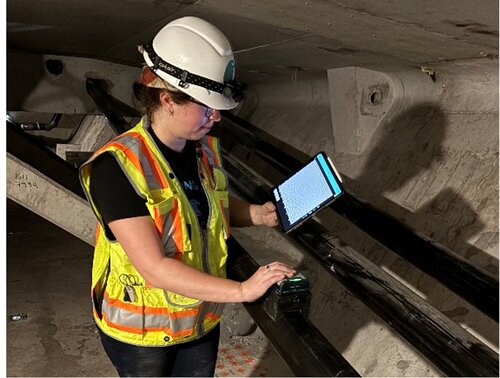
Say goodbye to time-consuming airfield investigations with the latest solution in subsurface multichannel GPR – mobile mapping. Using an easy to set up GPR array sensor like the GM8000 mounted to a vehicle, you can map the underground environment with superior accuracy even at highway speed if required. The subsurface utilities such as pipes and cables, or other buried objects can be viewed with an incredible level of detail in real-time via the iPad. Trust in the GM8000 to accurately map large airfields even in challenging conditions.


Upgrade your deliverables
with GPR data post-processing software
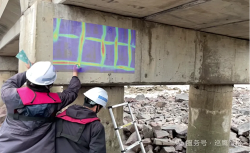
Along with large amounts of data collected with mobile mapping GPRs, comes the need to analyze it easily and efficiently. A popular solution is web-based software like GPR Insights. It takes your raw GPR data and transforms it into meaningful, actionable 3D rendering visualizations for clearer decision making in only a few clicks. There is no need for fancy computer equipment as it works on any standard PC or laptop. And the learning curve is quick, allowing you to create stunning deliverables in minutes.

Have multiple requirements, or not sure of the best solution for you?
Our product specialists will help guide you through the process of finding the right solution for your needs.